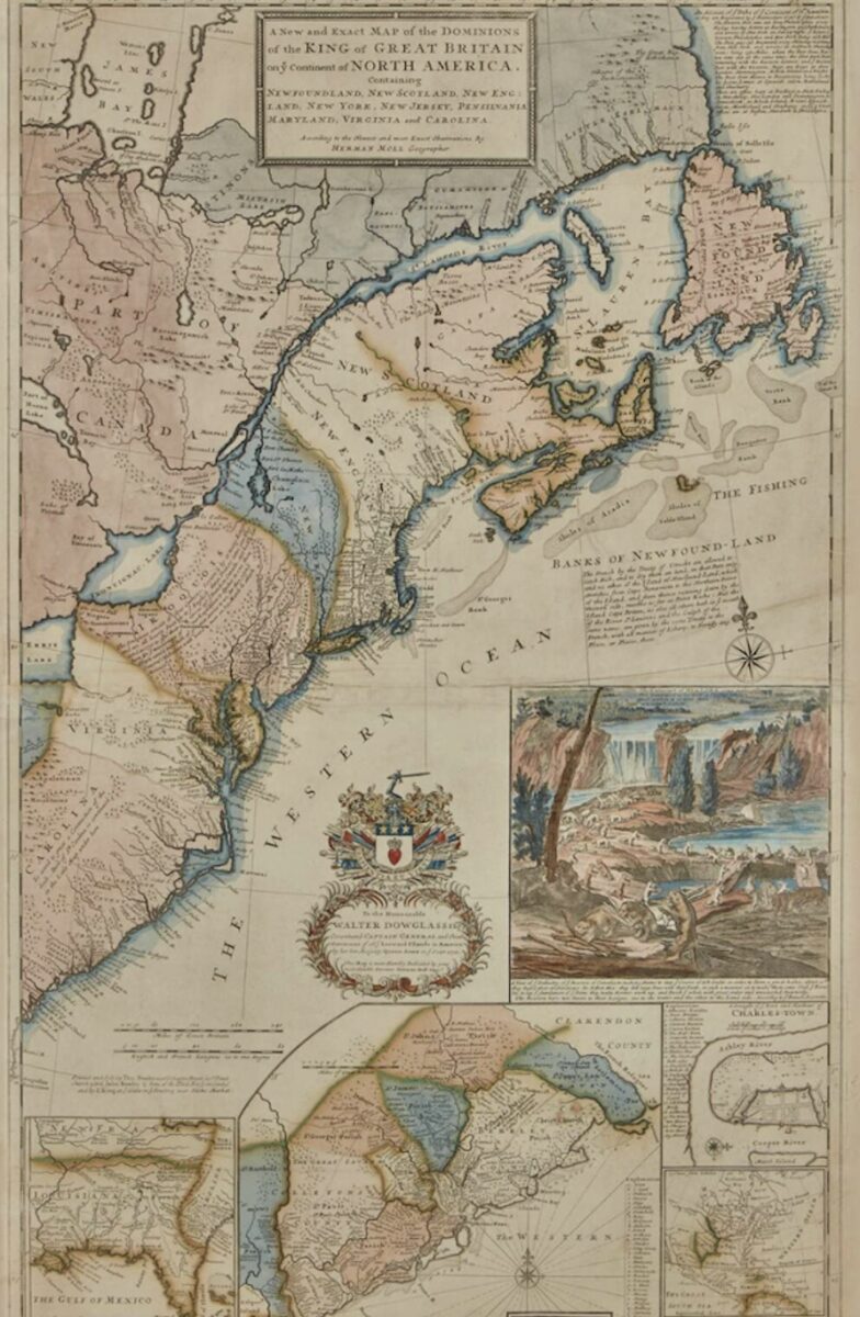
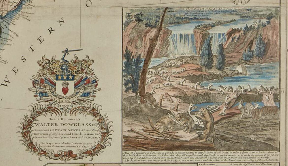
A print of a famous map depicting 18th century British territories in North America sold Friday at a Sotheby’s auction in New York for more than $3,700. The 300-year-old cartographic treasure is widely known as the “Beaver Map” because of the distinctive inset depiction of a colony of Castor Canadensis busily constructing a dam near Niagara Falls.
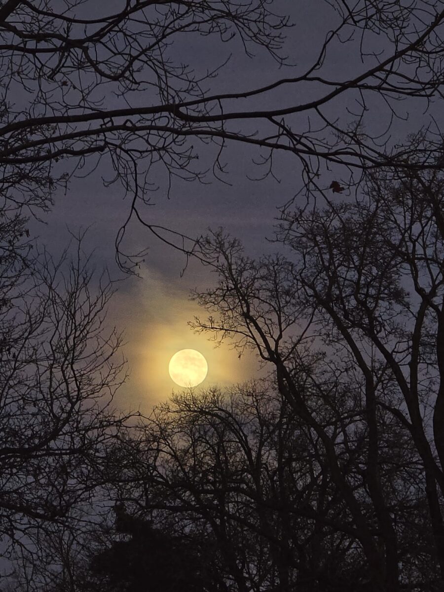
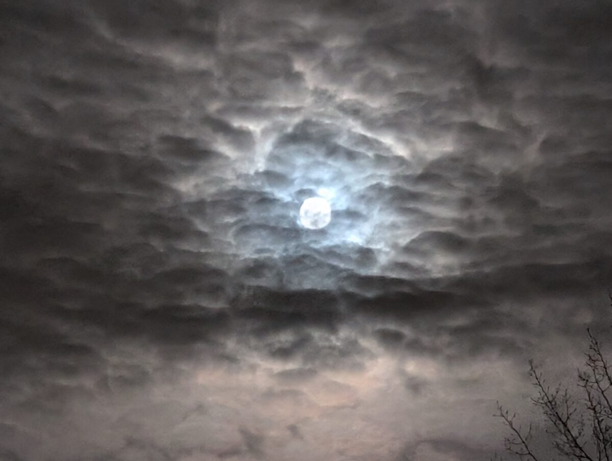
Bidding closed just hours before another event featuring the furry mammal portrayed on the map. As the sun set in Ottawa around 4:30 p.m., a celestial phenomenon known as a “Beaver Moon” became visible in the skies over most of the territories depicted in the celebrated map.

According to historians Margaret Pritchard and Henry Taliaferro, authors of the book Degrees of Latitude, the Beaver Map was “one of the first and most important cartographic documents relating to the ongoing dispute between France and Great Britain over boundaries separating their respective American colonies.”
The map was drawn and illustrated by the renowned London-based Dutch cartographer Herman Moll. Author Dennis Reinhartz writes in a 1997 biography of Moll that he “is Great Britain’s most celebrated geographer and mapmaker of the first half of the eighteenth century.”
According to Reinhartz, Moll’s renown “rested largely on the quality, engraving and distinctive style, and quantity of maps he generated.”

The quantity of works created by Moll truly is remarkable. A collection of Moll maps of Scotland reported by the National Library of Scotland numbers over three dozen. Of all the maps created by Moll during his lifetime, copies of the Beaver Map are perhaps the best known — and most valuable.
At a Sotheby’s auction held in 2008, a copy of the famed Beaver Map fetched a price of $16,250 U.S. In 2021, another copy auctioned by Sotheby’s sold for $10,710 U.S.
That makes the closing bid for Friday’s sale substantially lower than some prints previously auctioned by Sotheby’s, though the price range projected by the auction house before bidding opened was $7,000 to $9,000 U.S.
As for the Beaver Moon, according to NASA’s Gordon Johnston, the Maine Farmers’ Almanac provides different possible explanations for the name. One explanation is that the middle of fall was traditionally “the time to set beaver traps before the swamps freeze to ensure a supply of warm winter furs.”
Yet another potential explanation for the name suggests it came “from how active the beavers are in this season as they prepare for winter.”


